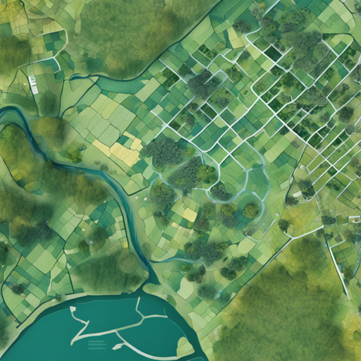
Welcome to the insightful journey of using the FLAIR models, a powerful tool designed to classify land cover in very high-resolution aerial images. In this guide, we’ll walk you through the steps to maximize your use of the FLAIR model, troubleshoot common issues, and make the most of its capabilities.
What is the FLAIR Model?
The FLAIR models are a collection of semantic segmentation models specifically developed for classifying land cover using aerial imagery, particularly from the French BD ORTHO® product. These models are flexible in input modalities and can work with various training datasets. With these models, you can distinguish between various classes such as buildings, water bodies, and agricultural land effectively.
How to Use the FLAIR Model
-
Step 1: Understanding the Input Requirements
Before you begin, ensure that your aerial images meet the specifications of the BD ORTHO. The images should be in 8-bit encoding format.
-
Step 2: Installing Necessary Libraries
You will need Python and the PyTorch library to use the FLAIR model effectively. Make sure to install the required packages by running:
pip install torch torchvision -
Step 3: Accessing the Model
Visit the model repository on GitHub to download the pretrained model and associated files. Fine-tuning instructions can also be found there.
-
Step 4: Training the Model
The model has been trained with a diverse set of patches. You can follow the training details in the README file to fine-tune it for your specific images, ensuring that normalization processes are applied similarly.
-
Step 5: Making Predictions
Once your model is trained and ready, you can start making predictions. Input your aerial images and run the segmentation to classify various land cover types automatically!
Understanding the Training Process: An Analogy
Think of training the FLAIR model like teaching a child to recognize different fruits. Initially, the child looks at a vast number of fruit pictures. As they observe apples, oranges, and bananas one by one, they are taught critical characteristics (e.g., color, texture). Over time, the child learns to group fruits based on these traits. Similarly, the FLAIR model processes numerous aerial image patches, learning to identify and classify land cover types based on their unique features. As the model is exposed to more data, its accuracy improves, just like the child becomes more proficient at identifying fruits the more they practice.
Troubleshooting Common Issues
If you run into problems while using the FLAIR model, here are some troubleshooting tips:
- Issue: Unexpected Model Predictions
Ensure that the input images follow the same normalization and encoding standards as the training set. - Issue: Slow Performance
Make sure to utilize adequate hardware. The model was trained on multiple GPUs; hence it will perform optimally under similar conditions. - Issue: Installation Errors
Check for compatibility issues with your software and libraries. Ensure you are using the correct version of Python and PyTorch. - Issue: Dimension Mismatches
Confirm that your input image dimensions align with what the model expects (512×512 pixels). - General Advice
Double-check that all required libraries are properly installed and up to date.
For more insights, updates, or to collaborate on AI development projects, stay connected with fxis.ai.
Final Thoughts
At fxis.ai, we believe that advancements in AI like the FLAIR model are crucial for enhancing our understanding of aerial imagery and land cover classification. Such innovations enable more comprehensive and effective solutions.
By following these guidelines, you’re now well-equipped to delve into the world of semantic segmentation using the FLAIR model. Happy coding!

