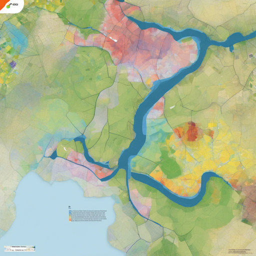
Are you ready to enhance your geographical analyses with a powerful classification tool? Look no further than **Dzetsaka**, the fast and user-friendly classification plugin for QGIS! Originating from a Gaussian Mixture Model classifier developed by Mathieu Fauvel, this plugin has expanded to support Random Forest, KNN, and SVM classification methods.
What You Need to Get Started
Before diving in, ensure you have the following essentials:
- A **Raster** image.
- A **Shapefile** containing your Region Of Interest (**ROI**). This shapefile must include a classification numbers column (e.g., *1, 3, 4*).
Understanding Dzetsaka: An Analogy
Imagine Dzetsaka as a skilled chef in a kitchen. The raster image acts as the raw ingredients, while the shapefile serves as the recipe, guiding the chef on how to combine them into a delicious dish. The classification algorithms like Random Forest, SVM, and KNN represent different cooking techniques, enabling our chef to craft various dishes depending on the desired outcome. Just as a chef carefully selects the right ingredients and methods to create a masterpiece, Dzetsaka leverages your data to produce precise classifications of vegetation and other geographical elements.
Installing Necessary Libraries
To unlock the potential of Dzetsaka, you’ll need to install the **scikit-learn** library. Here’s how:
For Linux Users:
python3 -m pip install scikit-learn -U --userFor Windows Users:
- For QGIS 3.20 and higher:
Open OsGeo shell and type:
o4w_env python3 -m pip install scikit-learn -U --user - For QGIS 3.18 and lower:
Open OsGeo shell and type:
py3_env.bat python3 -m pip install scikit-learn -U --user - For QGIS 2:
Search for PIP in the OsGeo setup, then: – Open OsGeo4W Shell as an administrator.
– Type:
pip install scikit-learn
Helpful Tips for Using Dzetsaka
- If your raster is named *spot6scene.tif*, create a mask named *spot6scene_mask.tif* for automatic detection.
- You can save your spectral ROI model to apply it to other images later.
Troubleshooting Common Issues
Despite its simplicity, you might run into some hitches. Here are a few troubleshooting ideas:
- Ensure that the shapefile has the proper classification numbers; text or other formats may lead to errors.
- Verify that the raster and shapefile are properly linked and recognized in QGIS.
- Consult the online developer documentation through the Doxygen branch for additional guidance.
For more insights, updates, or to collaborate on AI development projects, stay connected with fxis.ai.
Conclusion
At fxis.ai, we believe that such advancements are crucial for the future of AI, as they enable more comprehensive and effective solutions. Our team is continually exploring new methodologies to push the envelope in artificial intelligence, ensuring that our clients benefit from the latest technological innovations.

