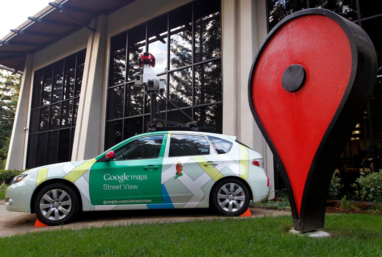
In an era where artificial intelligence continues to evolve at a breathtaking pace, researchers at Stanford University have harnessed the vast reservoir of images available through Google Street View to delve deeper into urban dynamics. Their ground-breaking study suggests not only the potential for AI to engage in image analysis with the same proficiency as text analysis but also highlights a promising avenue for understanding our neighborhoods through data.
The Power of Visual Data
Led by the brilliant computer vision scientist Timnit Gebru, this team of researchers embarked on an impressive mission: to forecast neighborhood voting patterns by meticulously analyzing a staggering 50 million images from Google Street View. Utilizing software designed for image analysis, they pieced together intricate demographic information derived from these visuals.
Data-Driven Insights
The ambition of the project was to provide accurate predictions about the demographic characteristics of various neighborhoods at zip code and precinct levels, which typically encompass around 1,000 residents. With the wealth of data, the researchers gleaned details not just about the automobiles lining the streets, but also inferred crucial socio-economic indicators.
Key Findings
- From the analyzed images, around 22 million cars were identified, representing approximately 8% of all vehicles across the United States.
- The data spanned 3,000 zip codes and 39,000 voting districts, offering a comprehensive tapestry of urban life.
- By cross-referencing the visual data with official datasets like the Census Bureau’s American Community Survey, the researchers accurately predicted key variables such as income, education levels, race, and most notably, voting patterns.
Transforming Data Collection
One of the most remarkable aspects of this research is the efficiency with which the AI algorithms were trained. By recruiting multiple individuals, including car enthusiasts and workers from platforms such as Mechanical Turk, they created a robust training dataset. The result? An astonishing capability for the software to classify vehicles across 50 million images within a mere two weeks—an endeavor that would have taken a human expert nearly 15 years to accomplish!
Implications for Policy Making
The significance of this research extends beyond the realm of car classification; it opens discussions about the future of demographic data collection. Currently, the American Community Survey incurs an annual cost exceeding $250 million and relies heavily on labor-intensive methods, which tend to overlook smaller communities. The findings propose a promising alternative, wherein demographic statistics could potentially be updated in near real-time through visual analysis.
Privacy Considerations
As we advance towards this new era of data collection, the researchers emphasize the importance of safeguarding individual privacy. While real-time updates are achievable, policymakers must ensure that data is only gathered at the community level, thus protecting the identities and rights of residents.
Conclusion
The intersection of AI and urban studies, as exemplified by this research, holds immense potential for interpreting the intricacies of our communities. As we embrace these advancements, it is crucial to leverage technology responsibility and ethically. At fxis.ai, we believe that such advancements are crucial for the future of AI, as they enable more comprehensive and effective solutions. Our team is continually exploring new methodologies to push the envelope in artificial intelligence, ensuring that our clients benefit from the latest technological innovations.
For more insights, updates, or to collaborate on AI development projects, stay connected with fxis.ai.

